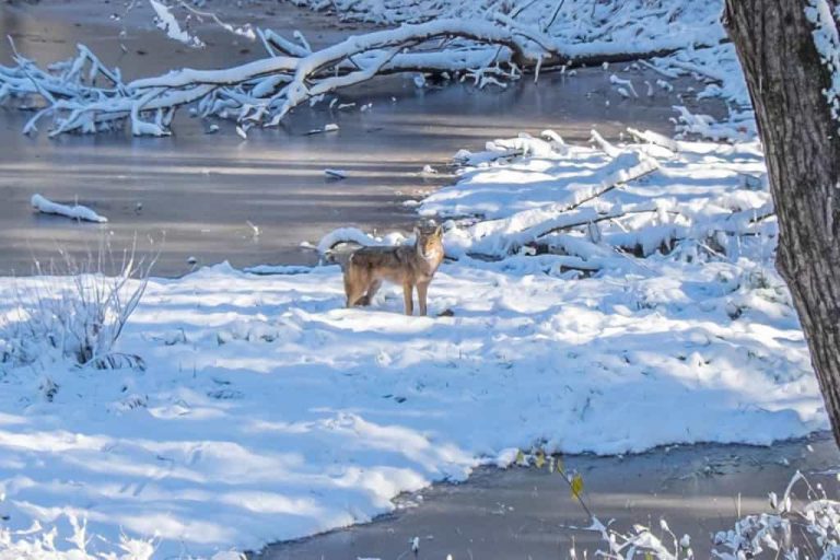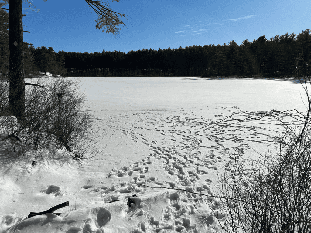
Burgess Pond
Burgess Pond at Stony Conservation Land
Photo taken February 3, 2026 by Gerry Dibello after recent snowstorms.
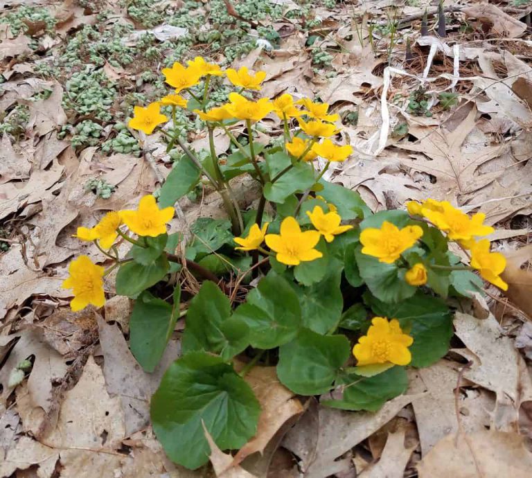
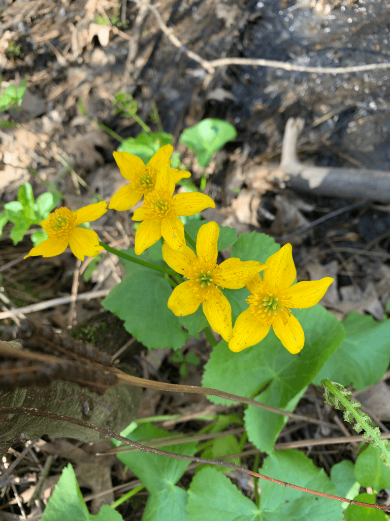
Pristine Burges Pond, a clear water pond of approximately 25 acres and is surrounded by a network of trails including a 1.75-mile pond loop trail. Burgess Pond is described as a kettle-hole bog which are acidic dwarf shrub peatlands with little water input or outflow that form in circular depressions left by melting ice blocks in sandy glacial outwash (glaciers covered the northeast about 20,000 years ago). The vegetation in kettlehole level bogs usually grows in rings.
Check out more info from Mass National Heritage and Endangered Species Program on Kettle hole bogs here.